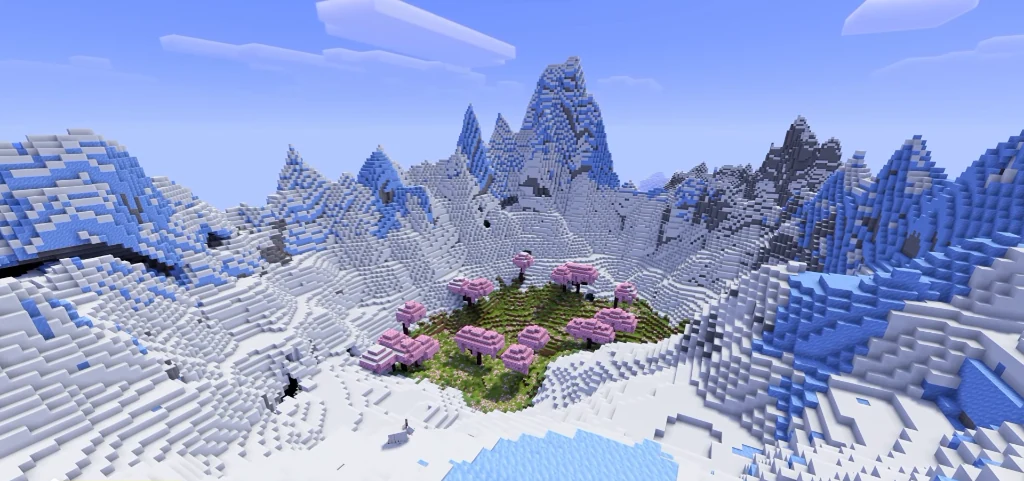
A western Cherry Grove basin enclosed by snowy mountain terrain is the main destination in this Java 26.2 seed. Spawn is (-16, 129, 16), in Cherry Grove. The verified grass point inside the basin is about 130 blocks south of spawn.
Use seed 19464882444 in Java 26.2 with normal world generation and structures enabled. Distances are measured in a straight line from spawn, and structure coordinates point to the structure, so look around for the entrance when you arrive.
The western cherry basin
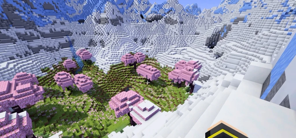
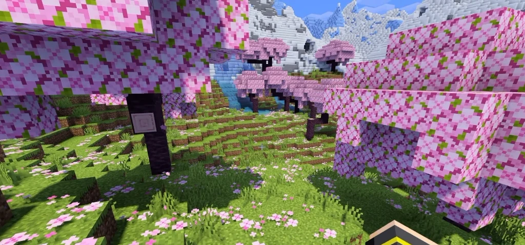
Cherry trees fill the western basin inside the snowy mountain enclosure. The grass marker lies west of the older point (150, 126, 200), which is snow over Meadow terrain in the eastern caldera. There are two caldera areas here, so head for the western basin to find the cherry setting. Coordinates: (-40, 136, 144). 130 blocks from spawn.
Cherry Grove at the starting point
Cherry Grove trees are part of the starting area. Spawn is (-16, 129, 16); the ground beneath the trees at this X/Z is Y=119. Head south for the more specific basin grass marker. Surface coordinates: (-16, 119, 16). At spawn.
Frozen Peaks along the enclosure
Snowy mountain terrain forms the enclosure northeast of the basin marker. The surface at this waypoint is Y=173; it is a place to explore the ring rather than a confirmed summit. Coordinates: (16, 173, 80). 72 blocks from spawn.
The southeastern waterfall
Falling water gives you a lower-elevation destination southeast of spawn. The exposed column drops 27 blocks, from Y=87 to Y=60. A connection into the western cherry basin has not been confirmed. Coordinates: (187, 87, 254). 313 blocks from spawn.
Plan your route
From spawn, head mostly south and a little west toward the basin grass marker. Scout the nearby snowy enclosure as a separate climb. Save the waterfall southeast of spawn for a second outing, since its lower elevation and eastern position do not make it an established entrance to the western cherry basin.
For an aerial visit, switch to Creative and enable flight first. Use a command below, then descend slowly. For underground places, these commands arrive above the surface so you can plan a controlled descent.
- The western cherry basin:
/tp @s -40 153 144 - Frozen Peaks along the enclosure:
/tp @s 16 189 80 - The southeastern waterfall:
/tp @s 187 120 254
Landmark coordinates
| Place | X Y Z | Distance |
|---|---|---|
| The western cherry basin | -40 136 144 | 130 blocks |
| Cherry Grove at the starting point | -16 119 16 | at spawn |
| Frozen Peaks along the enclosure | 16 173 80 | 72 blocks |
| The southeastern waterfall | 187 87 254 | 313 blocks |