This Java 26.3 seed offers a high forest-topped island with stone arches, a sea-facing cavern, water and lava on its lower slopes. Spawn is (432, 75, 240); the verified summit is about 505 blocks northwest of it.
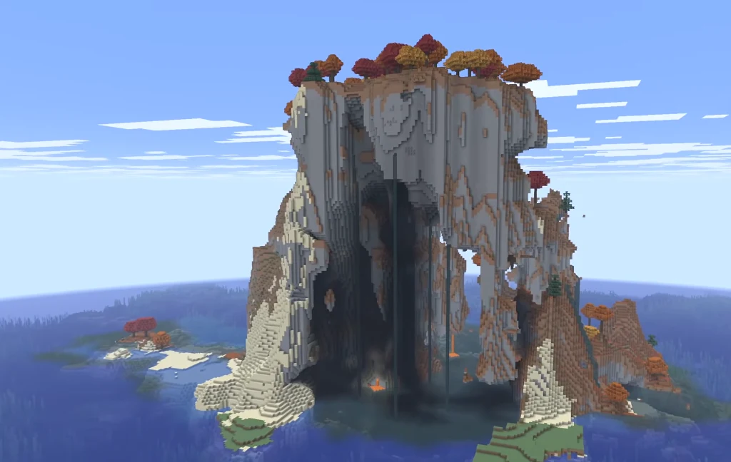
Use seed 988802989140 in Java 26.3 with normal world generation and structures enabled. Distances are measured in a straight line from spawn, and structure coordinates point to the structure, so look around for the entrance when you arrive.
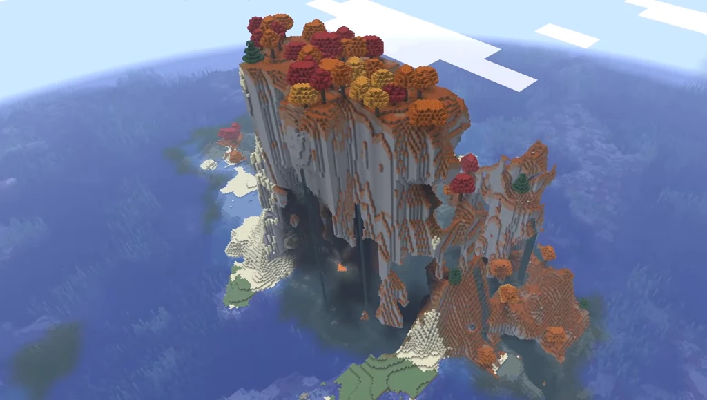
The forested summit plateau
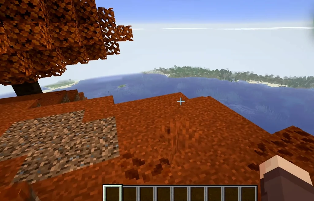
A high Dappled Forest plateau gives you a wooded viewpoint above the sea-facing openings. The marker is grass at Y=189. Scout the lower rock from the water before planning the climb. Coordinates: (-40, 189, 60). 505 blocks from spawn.
The eastern stone face
Exposed stone forms the steep eastern wall at Y=100 between the water approach and plateau. Use it to get your bearings before looking for a way up. Coordinates: (-8, 100, 0). 501 blocks from spawn.
The rock arch
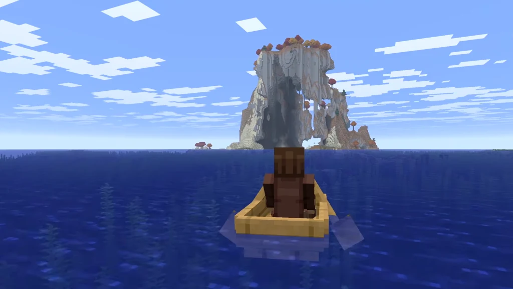
A large rock-enclosed opening lets you inspect the island's hollow interior. The point is in air at Y=90 with terrain overhead; a clear route through every arch has not been confirmed. Coordinates: (-40, 90, 20). 521 blocks from spawn.
The lower sea-facing cavern
A large hollow opens toward the sea beneath the plateau. The recess marker is in air at Y=90, while the upper surface at the same X/Z reaches Y=201. Visit the lower opening for a different view of the landmass. Coordinates: (0, 90, 60). 468 blocks from spawn.
The exposed waterfall
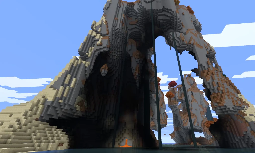
An exposed waterfall drops down the lower island. Its water column falls 48 blocks, from Y=107 to Y=59. A connection between every pictured stream and the summit has not been confirmed. Coordinates: (52, 107, -13). 457 blocks from spawn.
Lava beside the lower opening
Natural lava adds a hazard beside the lower opening. Lava runs along the monolith from Y=74 to Y=94, and this marker is an actual lava block. Keep clear when approaching the cavern from below. Coordinates: (-6, 94, -1). 500 blocks from spawn.
Dappled Forest by the water
This water-level waypoint brings you toward the Dappled Forest island area, closer to spawn than the summit. Use the summit grass marker for the high forest plateau. Coordinates: (80, 62, 48). 401 blocks from spawn.
The ocean farther northwest
Open ocean gives you a wider exploration trip beyond the island. This waypoint does not identify the gallery boat position or a mainland shore. Coordinates: (-272, 62, -432). 973 blocks from spawn.
Plan your route
From spawn, travel northwest toward the island area and inspect the eastern stone face and waterfall before attempting the upper plateau. Explore the arch and cavern as lower-level destinations. The summit is a separate climb, and the lava marker identifies a hazard near the opening. No exact mainland landing or continuous ascent route was verified.
For an aerial visit, switch to Creative and enable flight first. Use a command below, then descend slowly. For underground places, these commands arrive above the surface so you can plan a controlled descent.
- The forested summit plateau:
/tp @s -40 215 60 - The rock arch:
/tp @s -40 157 20 - The lower sea-facing cavern:
/tp @s 0 217 60 - The exposed waterfall:
/tp @s 52 123 -13
Landmark coordinates
| Place | X Y Z | Distance |
|---|---|---|
| Spawn | 432 75 240 | at spawn |
| The forested summit plateau | -40 189 60 | 505 blocks |
| The eastern stone face | -8 100 0 | 501 blocks |
| The rock arch | -40 90 20 | 521 blocks |
| The lower sea-facing cavern | 0 90 60 | 468 blocks |
| The exposed waterfall | 52 107 -13 | 457 blocks |
| Lava beside the lower opening | -6 94 -1 | 500 blocks |
| Dappled Forest by the water | 80 62 48 | 401 blocks |
| The ocean farther northwest | -272 62 -432 | 973 blocks |